
Trace a Belleville Street Directory
An address can link several Belleville records, but each record identifies a different role. The local assessment path is the first current-parcel lead. The New Jersey map supplies parcel context and stable identifiers. The Register then ties a parcel to recorded instruments. A certified voter list can be a separate, date-specific registration source, while a historic directory is a publication snapshot. Keep those labels distinct when a street has more than one name attached to it.
- Start with the complete street address through the Belleville Tax Assessor or the linked Essex County Tax Board record-search path. Record the current parcel information only as returned.
- Check the address in the New Jersey Property Explorer and note the county, municipality, block, lot, and any parcel identifier shown.
- Use the block and lot as the durable bridge. Street numbers, mailing labels, and apparent parcel edges can change or be displayed differently.
- Search PRESS with municipality BELLEVILLE and the block and lot. Use the current deed details to identify the recorded parties and recording information.
- For earlier instruments, continue the deed chain with the Record Room or Public Vault. The web index begins on October 1, 1996, and older books require the office route.
- Use the state voter-status tool for a person-specific status check, or ask the county election channel about a certified district list. The list is not a household search.
- For a dated address lead, consult the DigiFind-It Belleville collection and its Price & Lee material, then record the publication year.
That order moves from a present address to legal parcel evidence, then to recorded and historical evidence. It avoids treating a name in one system as proof of every role at that address.
Belleville Street Parcel Fields
The Belleville Tax Assessor prepares the annual assessment list, maintains assessed and exempt parcel records, keeps the tax map current, processes deeds, and handles related assessment work. Its municipal page points to the county record-search path, but the inspected page did not expose a live Belleville parcel card or a verified local field list. Do not assume an owner-name search, a map layer, or a result field that was not shown. The confirmed statewide Property Explorer choices are more limited and are useful for locating a parcel.
| Property Explorer field | Use in a Belleville street search | Research limit |
|---|---|---|
| Address | Find a parcel by street address. | Exact Belleville form labels were not captured. |
| County | Choose Essex County in the statewide context. | Filter behavior is portal-dependent. |
| Municipality | Use Belleville Township as the municipal filter. | Exact options were not captured. |
| Block and lot | Pair the legal parcel keys for a precise lookup. | Requiredness is portal-dependent. |
| PAMS_PIN / GIS_PIN | Join geometry and tax-related attributes where supplied. | Not verified as a public search input. |
The assessor record is an assessment source, not a resident roster. It may point to an assessed owner, a situs parcel, and a tax mailing address where those fields are released. The tax list is filed in January, and changes generally follow an appeal or judgment. It does not establish all people who may be present at the location.
Belleville Street GIS Context
The NJ Office of GIS parcel page describes a statewide parcel composite and Property Explorer searches by address, county, municipality, block, and lot. State-hosted owner names are redacted under Daniel's Law. The state layer can help identify the parcel geometry and its legal keys, but it is not an official tax map. County parcel edges also may not join cleanly at county lines.
The Property Explorer view below is a useful first location check for a Belleville street directory search. It should be followed by the assessor or county source when a current assessment question depends on a field that the state layer does not show.
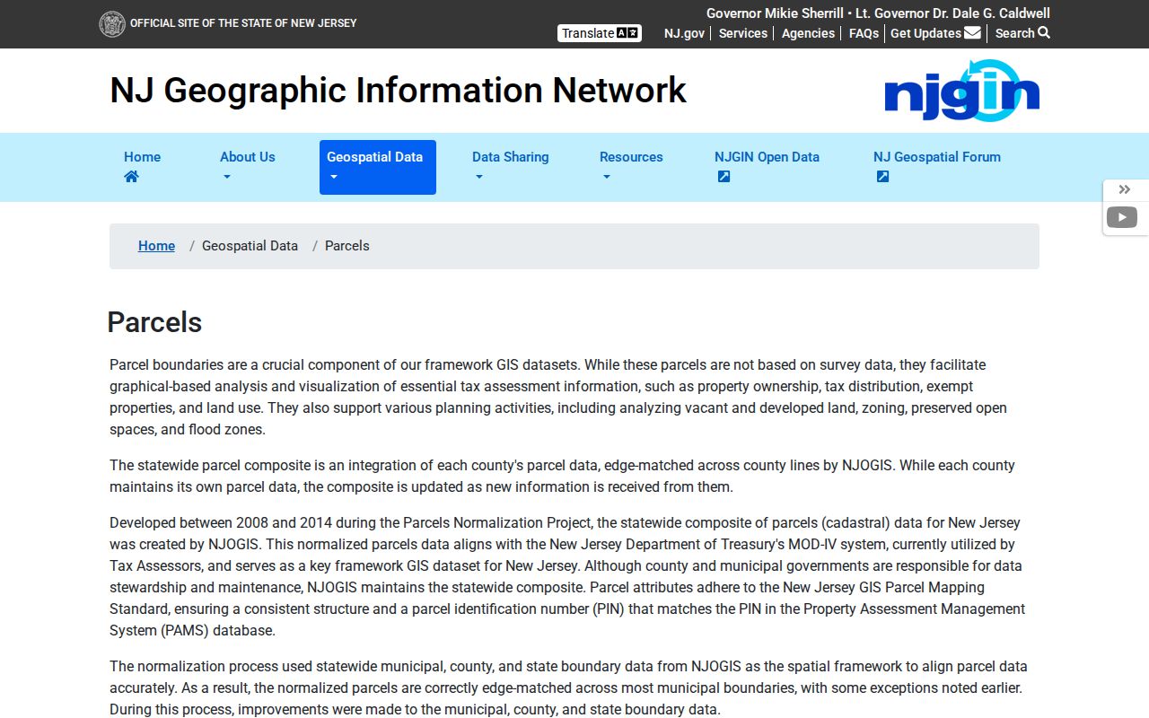
The parcel map is most useful when its address result is written down with the municipality, block, lot, and capture date. It does not create a Belleville street roster.
Belleville Street Record Matrix
A Belleville street directory question becomes clearer when the record type is named before the result. The sources below have different dates, access paths, and meanings. Taken together, they can establish a careful address history without turning an assessment, deed, or voter entry into a generic claim about residence.
| Address source | Custodian | Street-level value | Access route |
|---|---|---|---|
| Assessment and tax record | Belleville Tax Assessor / Essex County Tax Board | Assessed parcel and any released parcel fields | Municipal guidance, linked county path, office |
| Parcel geometry | NJ Office of GIS / county source | Mapped location, block, lot, PIN context | State map and service |
| Recorded instrument | Essex Register | Grantor, grantee, document, date, legal description | PRESS, Public Vault, Record Room |
| Certified voter list | Essex election and clerk channels | Statutory, district-based voter information | State status tool or county request |
| Permit or code record | Belleville departments | Address-specific work or inspection record if disclosed | Department or OPRA request |
| Dated directory | DigiFind-It / library collections | Publication-era address and occupant or business lead | Digital collection and reference help |
For historical entry formats and collection context, the Belleville city directory page focuses on the directory shelf. A street search should use only the address line and year needed to test a particular parcel history.
Belleville Street Parcel Layer
The state parcel layer supplies parcel-boundary reference data. Its Essex item was inspected as a data resource, not as a current local tax card, and the research did not locate a Belleville-only viewer with verified select, export, or adjacent-parcel controls. Use a map click as a way to collect identifiers, then follow the official assessment and deed paths one parcel at a time.
The linked state parcel layer image documents the kind of geometry reference used in a Belleville street directory chain. It does not establish a title boundary or a current owner list.
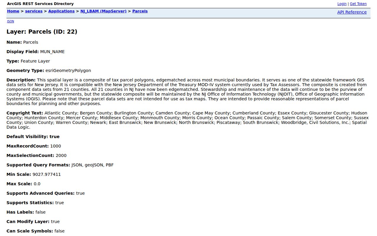
PAMS_PIN and GIS_PIN are legally stable joining bridges between geometry and parcel information when available. Preserve the source date because the state research notes a later Essex geometry update.
Belleville Street Deeds in PRESS
The Essex Register's PRESS system offers a parcel-focused route through municipality BELLEVILLE plus block and lot, and a name route using last name or company name with optional first name. It also supports instrument or book-and-page searching. In document or block modes, the date range is capped at 90 days, so a long deed history must be divided into saved, consecutive windows. Start with DEED, then use mortgage, discharge, lien, or lis pendens types only as context, not as proof of occupancy.
The computer index begins October 1, 1996. The Register describes electronic transactions from May 1, 2001 forward, while other Register language says some images are office-computer access. For an older book or an unavailable image, use the Record Room or Public Vault and ask about copies. Record Room hours are Monday through Friday, 8:30 a.m. to 4:30 p.m.; staff explain records and systems but do not perform title searches.
Note: A deed identifies recorded legal parties and land terms, so save its recording date and document information before connecting it to an address.
PRESS Holds 17,741 Essex Books
PRESS lists 17,741 books, and the Register says deeds and mortgages have been on file since 1637. Those figures describe archival depth, not a web-search start date. Older Public Vault material reaches into the early 1700s, but a Belleville street directory inquiry still has to make the handoff from the 1996 computer index to office books and the proper record medium.
For copies, the current Register fee schedule lists a certified deed or mortgage copy at $8 for the first page and $2 for each additional page. Recording fees are separate from copy fees. Check the live schedule before paying because the fee page is the current source.
Belleville's 2026 Assessment Scale
Belleville's 2026 revaluation procurement document estimates about 9,450 line items, including exempt parcels, and lists 8,391 class-2 residential items. Those figures explain why an address chain needs disciplined parcel identifiers. They are procurement context for an assessment project, not a current street directory count and not a list of people at any address.
The same document separates vacant land, commercial, industrial, apartment, public, school, church, cemetery, and charitable classes. Parcel class can help describe the assessment record, but it does not identify a household, a voter, or the recorded title party. Capture the tax year and source date before comparing entries across an address.
Belleville Street Voter Lists
The New Jersey voter registration status portal is for person-specific status verification, not browsing every address on a Belleville street. Under N.J.S.A. 19:31-18, a certified list is organized by election district and includes name, address, date of birth, party affiliation, and voting history. Voting history shows participation, not ballot choices. Signatures, Social Security numbers, and driver identification are not ordinary public output.
The county guide lists voter lists at $0.25 per district, but the inspected material did not show a complete request form, delivery format, or bulk-file terms. Use the county's current election instructions before requesting a list. ACP and Daniel's Law can lawfully substitute or suppress an address, so a mismatch is never a reason to infer a protected location.
Belleville Street Permits Need OPRA
Belleville's forms show construction-permit and permit-update channels, but the research did not locate a searchable public permit or code-case database. The factual fallback is a focused request: give the address, permit type, approximate date, block and lot, then ask the department whether responsive permits, certificates, inspections, or code notices are available and what will be redacted.
The governing request law is the New Jersey Open Public Records Act, N.J.S.A. 47:1A-1 et seq.. County requests that belong with Essex can be sent through its OPRA portal, while a municipal record must go to the appropriate Belleville custodian. A request should identify a record rather than ask for a general street search.
Belleville Street Directory Dates
DigiFind-It provides a verified Belleville directory run from 1921 through 1972, including a 1928 Price & Lee volume. Those volumes can turn a street address into a dated person or business lead. They do not prove a current occupant. For address history beyond the printed line, pair the directory year with notices or obituaries, and use the Library of Congress 1950 Belleville Sanborn item for structure and street context.
The Belleville Public Library reference desk can identify shelf-level directory holdings that are not published as a complete inventory. For an older county deed or estate lead beyond the Register's online coverage, the New Jersey State Archives provides archival search, request, and appointment channels.
No official Belleville-wide street renumbering or street-alias table was found. If a number appears to change, compare the street section, cross streets, adjacent owner, block and lot, legal description, and a Sanborn footprint rather than assuming the old number remained fixed.
Belleville Street Directory Limits
A street directory can show role-specific evidence. It cannot reliably show every household member, every current occupant, utility or delivery customers, DMV address history, or an unrecorded move. Assessment ownership, recorded title, voter registration, and a dated directory entry must remain separate findings. State parcel owner-name redaction and protected-address programs are privacy controls, not gaps to work around.
- Parcel
- A defined piece of land used in assessment and mapping records.
- Situs address
- The address locating the parcel, which can differ from an owner's mailing address.
- Legal description
- The land description used in recorded instruments, often connected to block and lot.
- Criss-cross directory
- A dated reverse-style directory section that begins with an address rather than a name.